We finally had a chance to get back to the Avon Trail and hike another short section today. 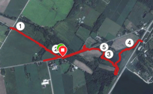 We wanted to pick up where we left off from the first time and continue on. It was pretty hot today (25 – 28C) and we didn’t have an early start so we decided to do just this 3.5 km section. We walked 8.91 km by the time we took a couple detours and made our way back to the car. The other reason for choosing this shorter walk was that the next section is in a conservation area and we will need to pay to enter. We’d like to do that in a single visit if we can so this just made it easier to set that up.
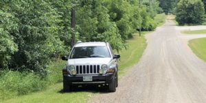 We parked on 13th line as recommended in the secret map. They provide a good list of parking options as well as noting some places where you can’t park which
  is also helpful. This spot was in the middle of the section we wanted to hike so we were never too far away from the car.
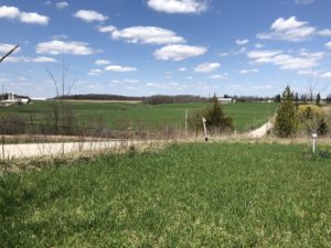
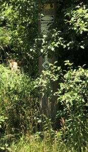 We had a little trouble picking up the trail where it leaves 9th line – the blaze is fairly well hidden by a tree so we did a little extra walk down the road until we found it. This part of the trail follows the edge of the fields and cuts through a small bush to connect back to the place we had finished last time. It isn’t very well maintained and didn’t look to be well used but we were able to follow the blazes and make our way along the corn fields until we reached the next concession. We stopped under a tree to eat a little lunch and re-hydrate before heading back to 9th line.
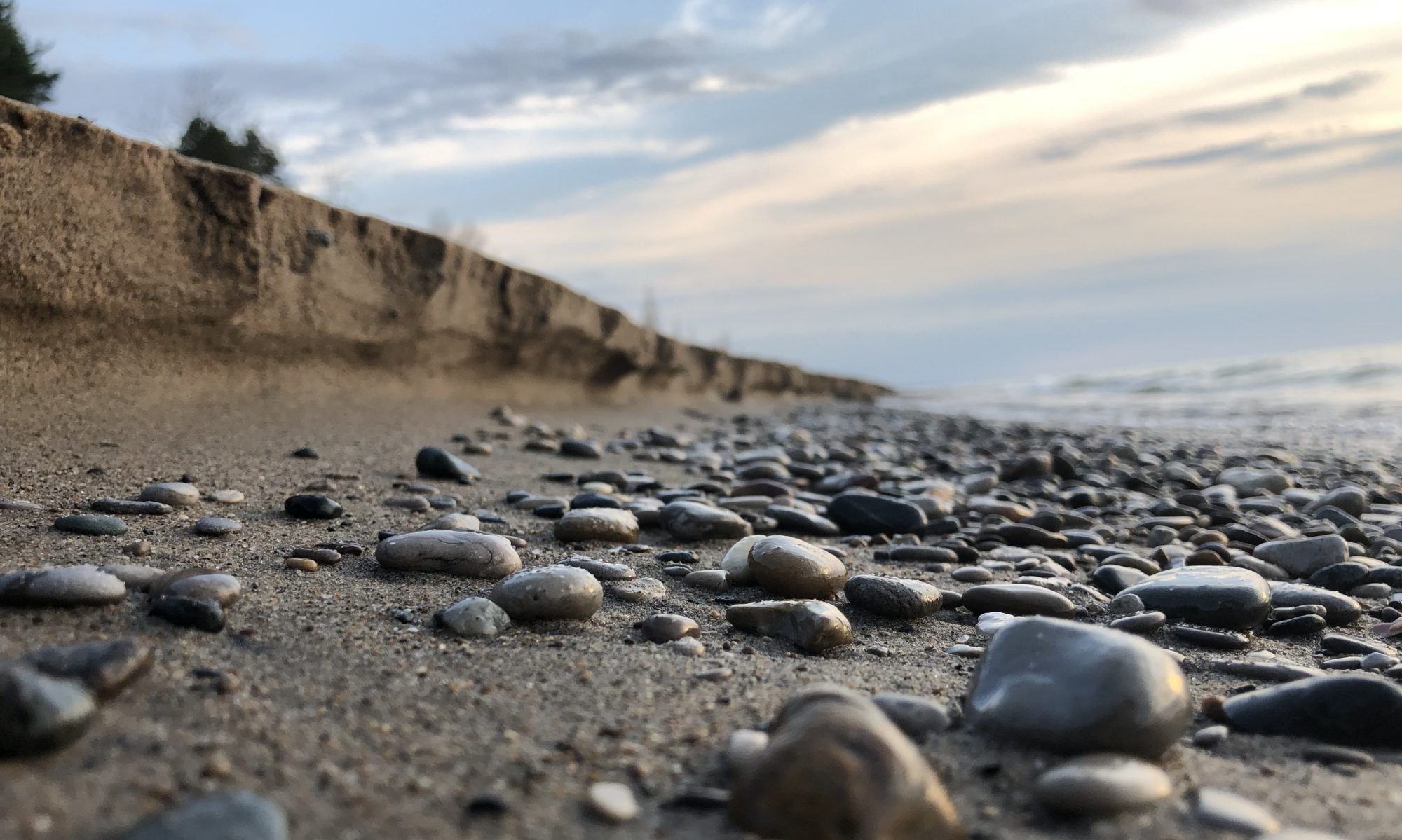
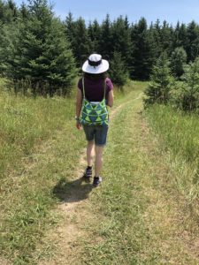 After a quick pit stop at McCully’s Hill Farm Market we left 9th line and started on the Lake Trail. This part of the trail is maintained by the Wildwood Conservation area and is very well cared for. The trail passes through grassy meadows and some managed pine forests. The pine forests were especially nice, very cool and quiet. This section of the trail is part of a larger 24km bicycle loop through the conservation area so it’s wise to keep an eye out for cyclists. We only met two on our walk and they were very courteous. The trail is wider making it easy to walk two abreast in this section.
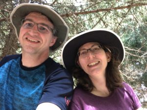 We followed the trail up to the dam and then on to the gate to the conservation area. We had a very nice stop on a rock in the woods between the dam and entrance to the conservation area where we finished our lunch and enjoyed the shade for a few minutes. There is a handy tunnel under highway 7 so you never need to cross over that road during the hike. After a quick discussion we decided that the extra distance it would take to walk back along the trail instead of taking the shorter route along the road was more than made up for by the shade and the scenery. We retraced our steps back through the trail to 9th line and then across the bridge and back to our car.
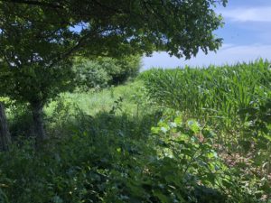 The hike took 2 hours and 41 minutes including our rest stops and made for an excellent afternoon hike. If you aren’t trying to complete the trail end to end I’d consider skipping over the section between km 7 and 8 just because it is mostly following a row of corn
 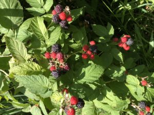 along the edge of the field and it’s very bushy. But it’s certainly doable and we did find some nice wild raspberries in that section.
All in all a good day out on the trail.
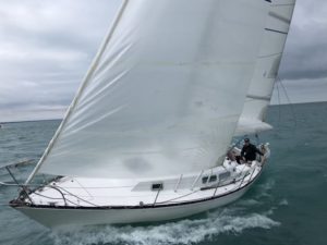
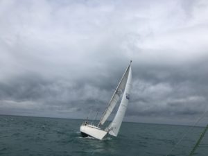
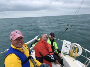
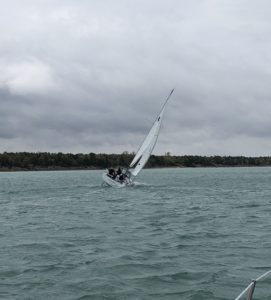 The races are setup to be just a bit under 1 hour long and with the stronger winds today was closer to 40 minutes. There are 5 buoys permanently set in the lake that are used for the clubs regular races and we visited all of them today over the course of the 3 races. As a relatively new sailer it was quite exciting to see the toe rail in the water as we heeled over and headed for the next mark. Sometimes the boats get quite close during the race and I was glad to be crew on an experienced boat just then.
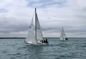

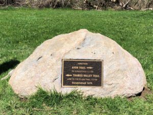 We headed back to the trail head by the tennis courts on Water St. There is ample parking and the large rock marking the point where the Thames Valley trail and the Avon Trail meet is clearly labeled with a nice plaque.
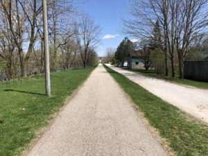 The first 2 kilometers of the trail are along the river in St. Marys. It’s a very pleasant walk and easily accessible for all levels.
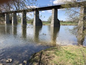 If you are just looking for a short but pleasant walk then this is a great place to turn back.
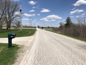
 From there we left the trail and went down road 122 to line 9 which turns into Queen St. as you enter St. Marys from the east. Exiting the trail here left us with 6 km to get back to car. Line 9 is a bit busier but the shoulders are wide so it isn’t to bad for walking along.